The designing of airspace is an extraordinary thing. A delicate balance of science and art – meeting a number of regulatory requirements and non-negotiables while weaving and creating a network that best meets the needs of every party imaginable.
Implementing changes to airspace is quite another thing. When we look at the world’s airspace, it is divided into flight information regions according to countries or groups of countries that have the authority to manage the aircraft within them.
In Australia, it is Airservices Australia that is responsible for airspace management of our two flight information regions. The two regions combine to a total of 51.7 million square kilometres, which is around 11 per cent or of the world’s total airspace, and it is Airservices Australia’s responsibility to manage the accompanying aeronautical information, aviation communications, and radio navigation aids.
Aeronautical information is constantly changing. Airspace structures and routes are revised, navigation aids change, standard instrument arrival routes (STARs) and standard instrument departures (SIDS) are amended, runway and taxiway information changes. When you look at just how many different flight information regions there are across the world, the need for a coordinated approach to managing such changes to aeronautical information becomes abundantly clear.
So how exactly is this achieved?
The Aeronautical Information Regulation and Control (AIRAC) cycle is a quality control process to ensure coordination of changes within the global airspace system. It originates in the International Civil Aviation Organisation’s (ICAO) ‘Annex 15 - Aeronautical Information Services (AIS)’ document and dates back to 1964. The idea is simple. Participating countries issue changes to aeronautical information on the same 28-day cycle.
In short, it defines that in all instances, information provided under the AIRAC system shall be distributed by the AIS unit at least 42 days in advance of the effective date with the objective of reaching recipients at least 28 days in advance of the effective date. Whenever major changes are planned and where additional notice is desirable and practicable, a publication date of at least 56 days in advance of the effective date should be used. Effective publication dates are always on a Thursday.
This ensures that pilots, air traffic controllers, air traffic flow managers, flight management systems and aviation charts all have the same information working from the same information base.
Airservices Australia works with ICAO to share information and advances in aviation technology, changes to aeronautical information, and to maintain global aviation safety standards. For Brisbane Airport, the changes will be huge, with parallel runway operations to commence with the completion of the new runway.
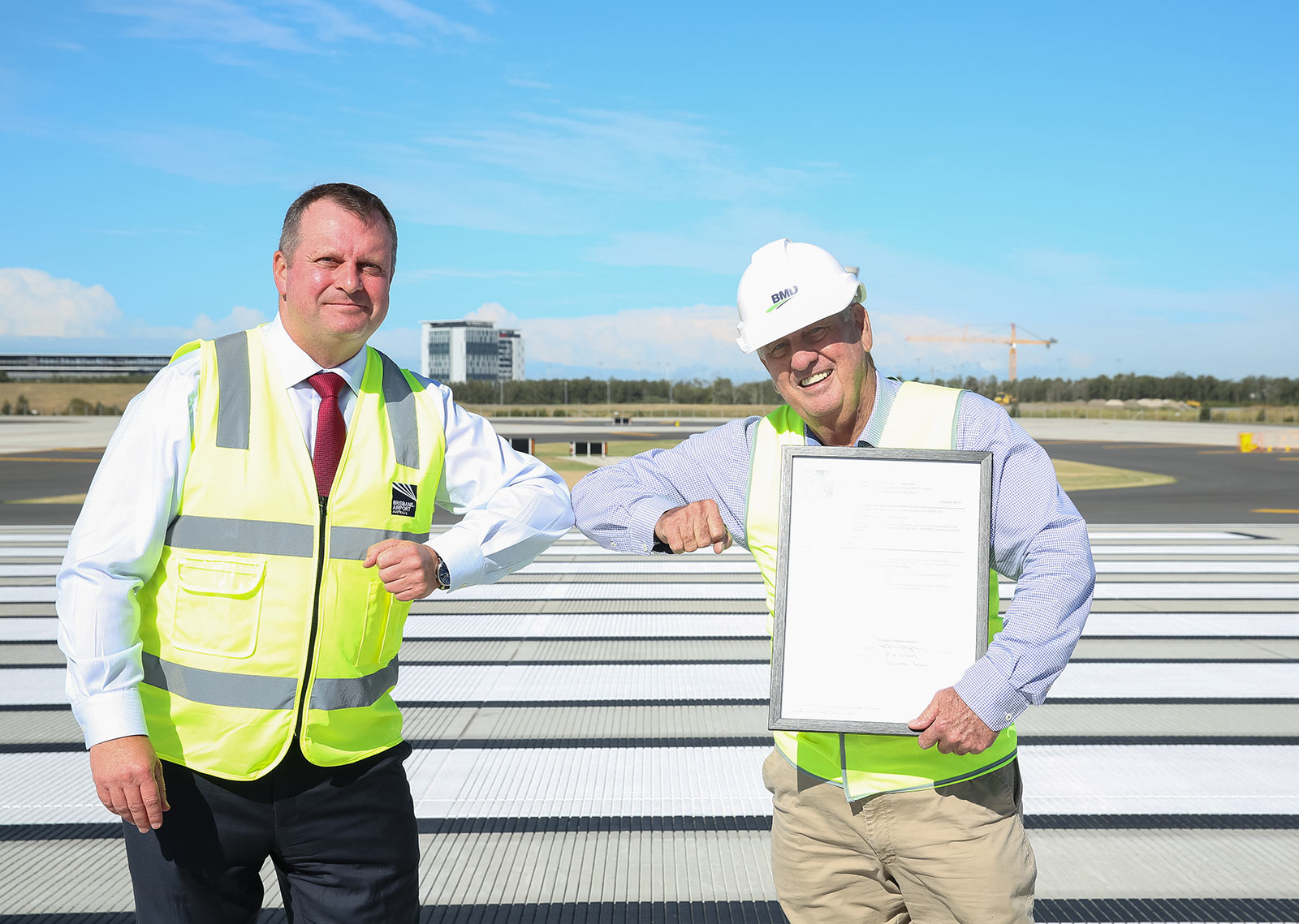
Neil Hall, Brisbane Airport Corporation’s Airfield & Airspace Planning Manager, explains that the aeronautical information changes for Brisbane Airport as a result of the new runway were so significant, they could only be implemented on two of the 14 AIRAC publication dates for the year.
These dates fall in May and November. Publication means that airspace changes are installed into the aircraft navigation systems and air traffic control systems beforehand, so they are ready to be flown on the publication dates.
“For a change of this size - where a lot of information has to go into the air traffic control and aircraft systems in order for the pilots and air traffic controllers to have the flight paths in their systems to be able to use - that can only be done on those two major dates of the year and the date that we selected had to be prior to runway opening. Given the new runway has reached practical completion and will be open on 12 July, the date we had to go with was the 21st of May.”
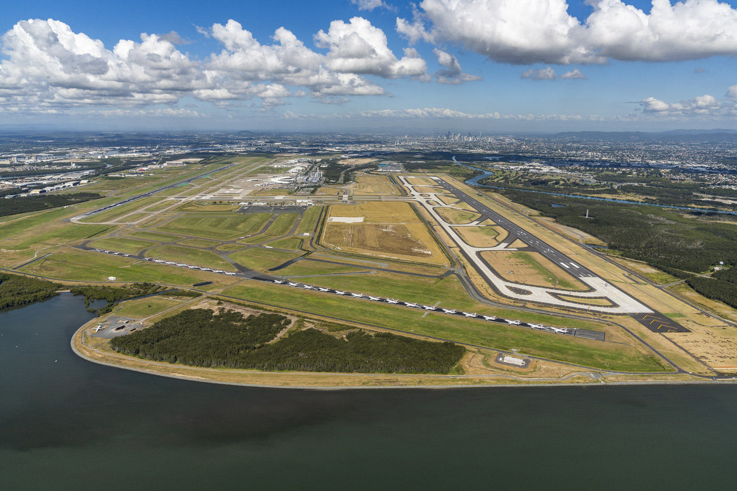
While the new runway reached practical completion on 30 April 2020, there is still a significant piece of work to be done before the runway can open. BAC continues to work closely with Airservices Australia to complete its Operational Readiness and Testing (ORAT) Management Plan - a comprehensive list of safety, security and regulatory compliance requirements that must be completed before the runway can open.
“The new runway isn’t opening on 21 May because testing and commissioning is ongoing. The air traffic control facilities, things like navigation aids that are designed for the new runway, a new fire station - all of those things have to be done prior to runway opening, and in order to enable all of those things to be done, the 12th of July was chosen as the opening day.”
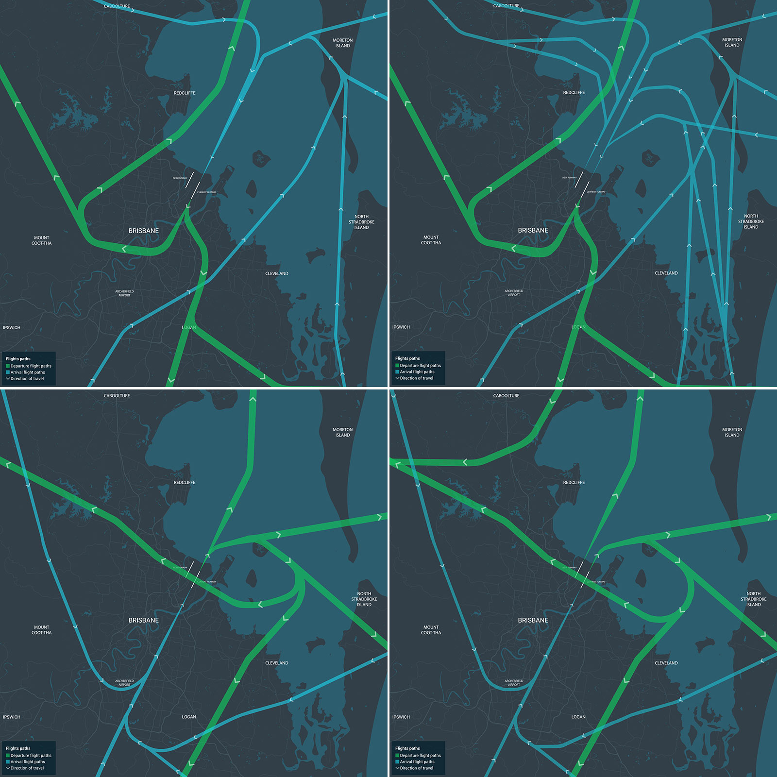
The period between the airspace for the new runway being published and the actual runway opening will be known as an interim operating period. From 21 May to 12 July 2020, people can expect some of the flight paths for the new parallel runway system to be used, and some flight paths used that will be otherwise reserved for when the new runway is closed.
“Some of the flight paths will look the same as they will run after runway opening on the 12th of July and others will look slightly different. During the interim operating period, we need to have flight paths that will go from the north and west of the airport to the existing runway, but once the runway opens those flight paths will go to and from the new runway.
“These interim flight paths are designed to be used when the new runway is closed for some reason. It may be due to maintenance or maybe an aircraft emergency, so they will rarely be used, but they are designed to be contingency flight paths.”
It is difficult to summarise community impacts during the interim operating period as these will differ based on where someone lives in Brisbane and even where they live within a suburb. Neil encourages people to look at the maps below and contact BAC should they have specific questions.
“With southerly winds, areas north of Caboolture and at the southern end of Bribie Island will be overflown by one of the arriving flight paths that will be used when the new runway opens but there may be more aircraft during the interim period than after runway opening because this will be the only arrival flight path used from the north and west during that period.
“Coorparoo, Dutton Park, and Highgate Hill areas may notice that departures to the north during southerly winds are slightly further south than they are currently, during the interim period. Toowong and Mt Coot-tha will be overflown by departures similarly to when the new runway opens.”
With northerly winds, the longer arrival flight path from the north and northwest will overfly areas around Sumner, Darra and Durack only during the interim period.
“Some arrivals will continue to use the shorter river track during this period as they do now.”
One of the biggest changes that will come about as a result of parallel runway operations is the ability to maximise over the bay operations through reciprocal operations. Throughout the interim operating period, the preference will be for all overnight arrivals and departures to occur over the bay utilising reciprocal operations.
“Air traffic control will still use over bay operations as much as possible. If the wind is too strong, so if it's above eight kilometers an hour from the north or eight kilometers an hour from the south, air traffic control will pretty much do what they do today in terms of using the existing runway. But the flight paths to and from the west and north will be slightly different to what they are now.”
“For anyone looking for more information, the Flight Path Tool on our website is the best place to go to look at where the flight paths are, how many aircraft there will be after runway opening as well as before runway opening, and how high you can expect those aircraft to be.
“But for the interim procedures between 21st of May and 12th of July, the Knowledge Centre within the Flight Path Tool will have information - pictorial information very similar to the images on the Flight Path Tool - to show what the contingency or interim procedures are.”
CREDITS

